Birding in the Western Andes
Explore places, birds and stories. Your unfinished plan stays here.
Map and guide shown together.Drag any panel edge or corner to resize. Use arrow keys on a corner or divider; Shift moves faster.
Western Andes · Colombia
Cloud forest and wooded ridges along the Western Cordillera, with especially wet forests on its Pacific-facing slopes.
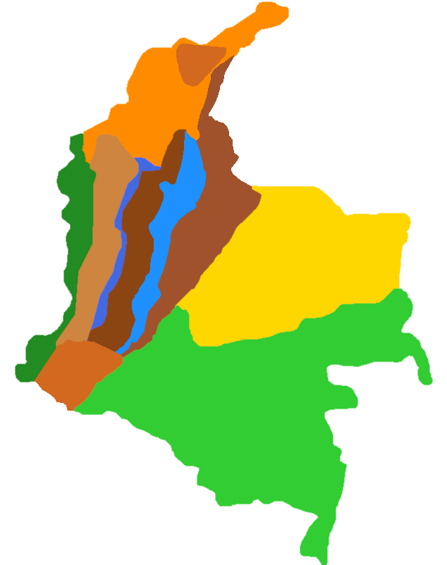
Colombia, Western Andes selected. Showing 4 featured bird photographs and its regional map. Back to world returns to the overview.